Examples
Examples
Each example runs live on the page, shows the complete code and a single HTML file to copy. The basis is MapLibre GL JS (4.7.1) with pmtiles (3.2.1), a free token and no build. The live maps use the docs token; in your copy replace YOUR_TOKEN with your own public token. Filter by product:
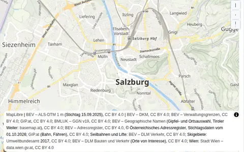 Embed a map
A map with the ready-made mapx style in an HTML page.
Maps
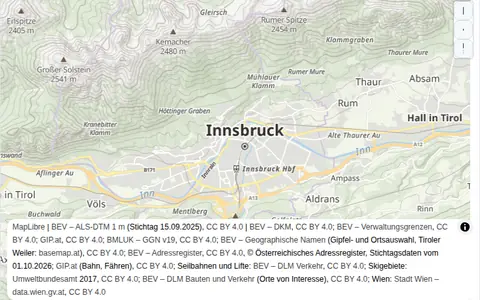 Switch the basemap
Switch between map, aerial imagery and terrain.
Maps
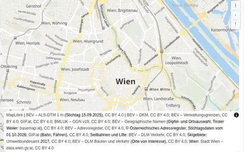 Time of day and night mode
The default style in four lighting moods.
Maps
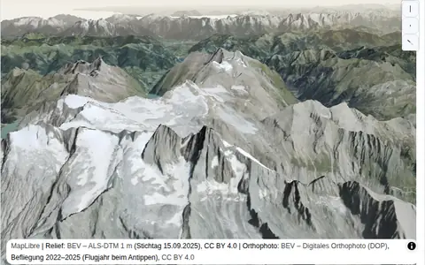 3D terrain
Aerial imagery over the terrain model, tilted and exaggerated.
Maps · Elevation
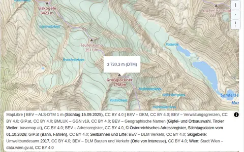 Elevation on click
A click queries the elevation at a point, terrain or surface.
Elevation
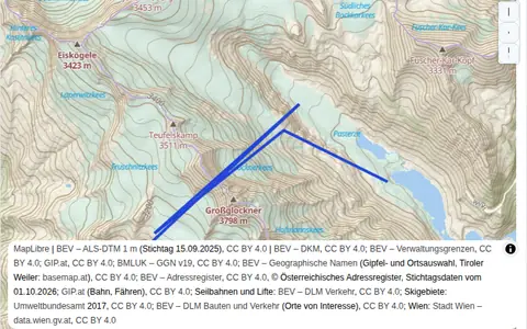 Elevation profile
Click a line, see the profile.
Elevation
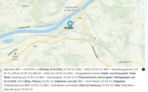 Search
 for places, addresses and peaks and fly to them.
Search
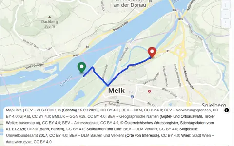 Route
Click start and destination, get the way with length and duration.
Navigation
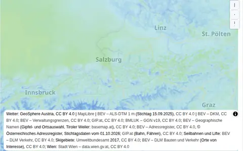 Weather overlay
Temperature, precipitation or wind as an overlay, hour chosen with a slider.
Weather
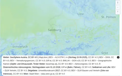 Precipitation radar
Rain and snow of the next three hours in 15-minute steps, played as an animation.
Weather
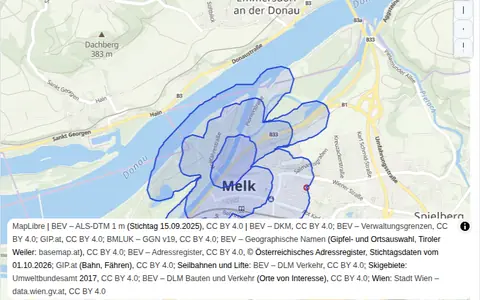 Reachability (isochrones)
Which area can be reached in 5, 10 and 15 minutes?
Navigation
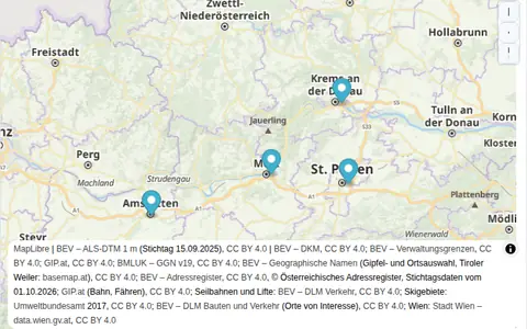 Travel-time matrix
Travel times between several places in one request.
Navigation
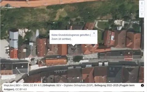 Cadastre: parcel on click
Parcel boundaries over aerial imagery, a click shows the number.
Parcels
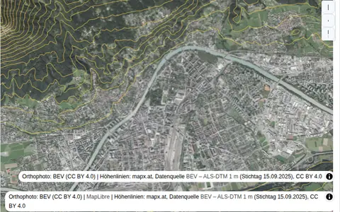 TileJSON sources
Add orthophoto and contours without a ready-made style.
Maps
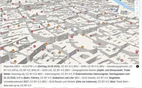 3D buildings
Extruded buildings with BEV heights, camera tilted.
Maps
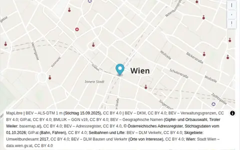 Search Box with suggestions
Suggestions while typing, position after the click, type filter.
Search
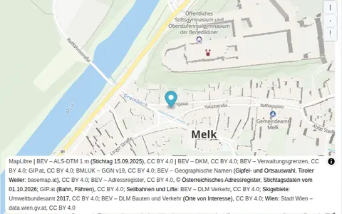 Address autofill in a form
Type a street, pick a suggestion, the form fills itself.
Search
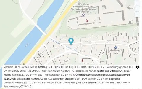 Address validation
Check an address against the official register and show the corrected result.
Search
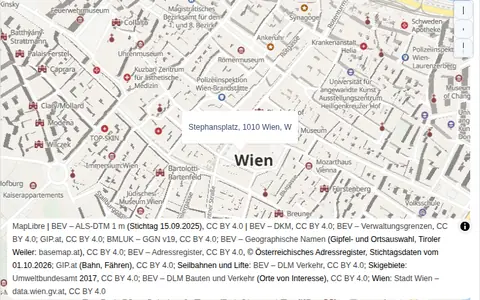 Reverse geocoding
Click the map, get the nearest address.
Search
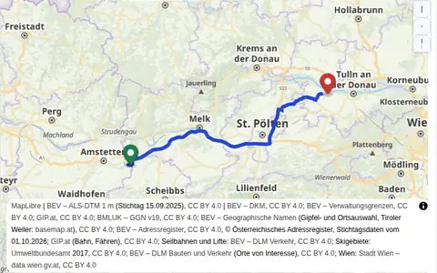 Truck route with options
Vehicle size, avoid tolls and motorways, alternatives.
Navigation
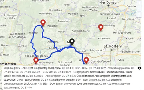 Tour planning
Click stops, get the best order from the depot and back.
Navigation
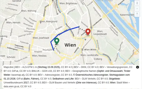 Public transit route
Click start and destination, get walking and riding legs.
Transit
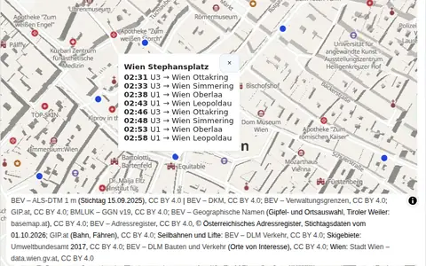 Departures at a stop
Click near a stop, see the next departures.
Transit · SDK
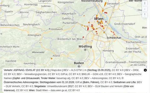 Traffic flow and incidents
Traffic style plus the active incidents of the visible area.
Traffic
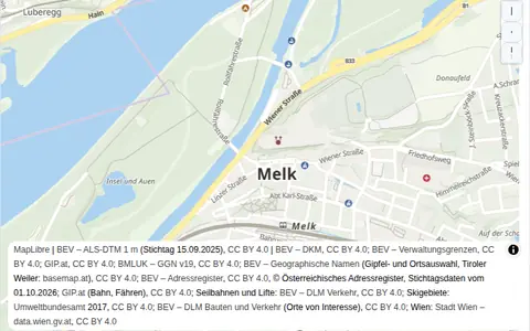 Static image for a listing
Click a place, get a ready-made image URL with a pin.
Static images
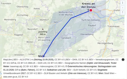 Your own GeoJSON on the map
Points, line and area over the mapx style, popup on click.
Maps
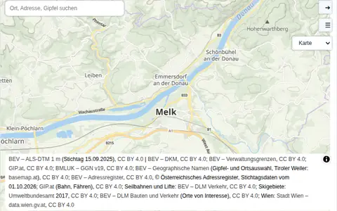 SDK: route planner and layers
RouteControl with truck profile, LayerControl, search and style switcher.
Navigation · SDK